Energy Fuels to Acquire ASM, Expanding Rare Earth Supply Chain Beyond China
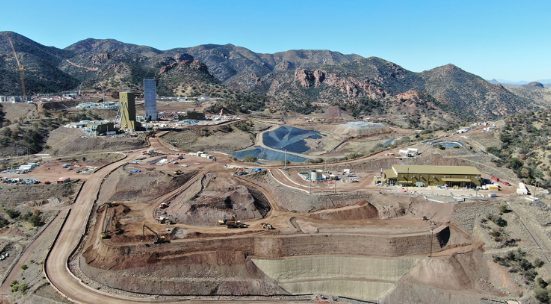
U.S. uranium and rare earth producer Energy Fuels Inc. has agreed to acquire Australian Strategic Materials Ltd. in a deal valued at about US$299 million, marking a major step toward building a Western-controlled rare earth supply chain.